Remember that the train stopped every 7 -10 miles to fill up with water and every 25 miles to add coal. Since it's 35 miles to Cotopaxi it took awhile for them to get there.
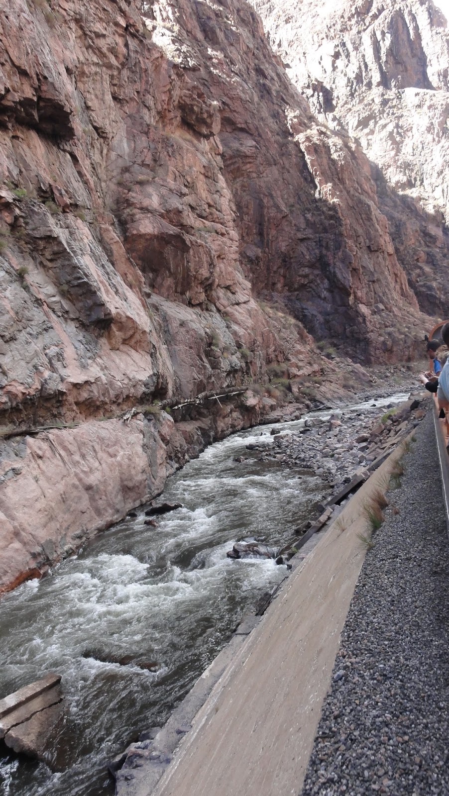
I decided to take photos showing todays train so you could get an aspect as to size and distance. This is what it looks like when you leave town. These water diversion gates were not there in 1882....but the landscape was the same and the lack of trees probably the same.

As you round the first couple of corners, you start to see a few more peaks.

Then the river gets more narrow as the peaks get taller

This is the first glimpse of the suspension bridge at the top - you can barely see it, but you can get an idea as to how flat and sheer some of the cliffs in the canyon are.

I wonder what the Colonists thought? They must have been overwhelmed at the depth of this canon. Of course, the bridge was not there. And they would have been on a narrow gauge train. A much different experience than today's ride.

These days, some of the river walls have been cemented in due to floods and erosion of the ground under the tracks. On the left is a water pipeline that did not exist in 1882.
This photo shows the jaggedness of the peaks going through the canyon.

And this is pretty much the scenery anywhere there is land you could walk on. Filled with cactus and small shrubs. Hard to believe this is just a few feet from the river, yet absolutely nothing grows here.

The train stops at Parkdale and then you come back to Canon City. From Parkdale, the highway follows the train the rest of the way to Cotopaxi. But if you drive it today, you just will not see what they saw going through the Royal Gorge.
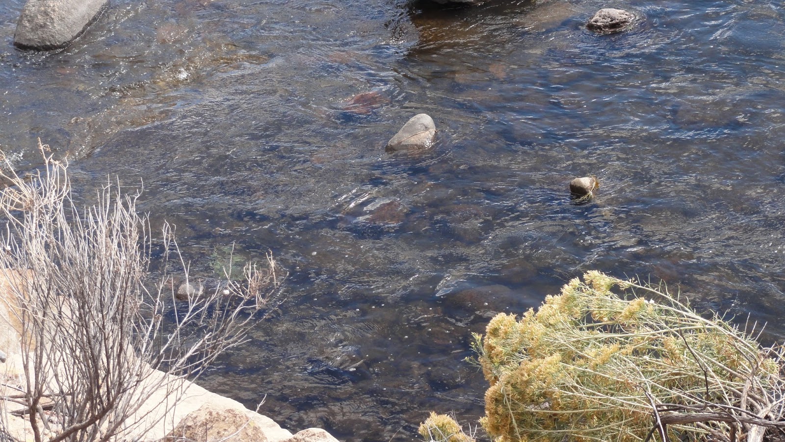
I was able to get this shot of the water showing how shallow it is.
Today, rafting is the main industry of this river. But in the 1880s, logs were cut and then put in the river and floated downstream to Canon City and Pueblo. This is at Parkdale where the early pioneers ran up to 5000 head of cattle and they crossed the Arkansas here. That would have been something to see!

On the way back, I was able to get this closeup of the suspensions that support the train tracks through the narrowest part of the canyon.

They were told that they could farm the land and then they saw this. I just think they had to have shook their heads in wonder! I do and it's 2016!

*********c2016Cotopaxi-Colony.blogspot.com All content is copyright protected and may not be copied, reproduced, reused or reposted in any manner without permission.
No comments:
Post a Comment